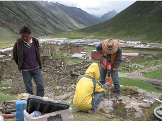
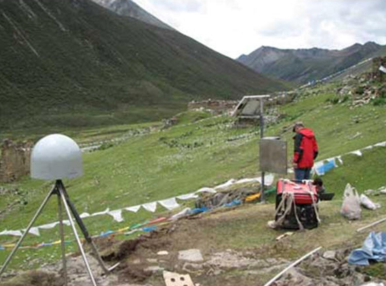
Two villages, Cuijiu, Jiacha County and Dana, Namulin County, in southern Tibet were selected for consistent GPS observation and data accumulation. Both GPS observation sites were part of eight consistent GPS observation stations started three years ago, accumulating so far data of up to three years. The configuration of the GPS in some selected areas on the Plateau aimed at studying fracture activity on the Plateau at present and assessing the earthquake potentiality in the region. Current distribution of the GPS apparatus on the Plateau was set by Prof. Liu Jing of the ITP, tending at gap-filling or intensification of key areas based on the existing National GPS Network Plan Ⅱ and focusing on remote yet historically active fracture zones. In GPS set-up, scientific staff headed by Prof. Liu adopted three-dimensional steel antenna stakes, which were believed to be more stable and better at constraining multi-path signals, thus providing data of better reliability.
By the year 2010, 14 such sites in total will have been set up on the Plateau for consistent GPS observation, which uses ground-surveying receivers and aerial chokes as Trimble and Leica, hopefully to contribute to geological disaster degradation and control on the Tibetan Plateau.


