| News |
| Latest news | |
| Int’l Cooperation activities | |
| Events & Announcement | |
| Recent Activities |
| Location: Home>News>Recent Activities |
| West Tibetan Plateau surveyed for structural activity |
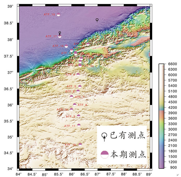
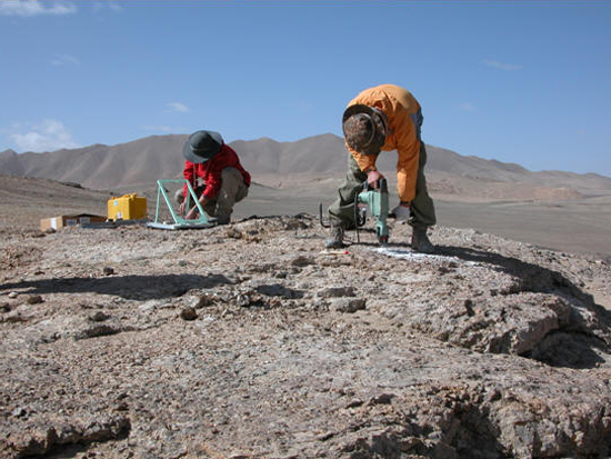
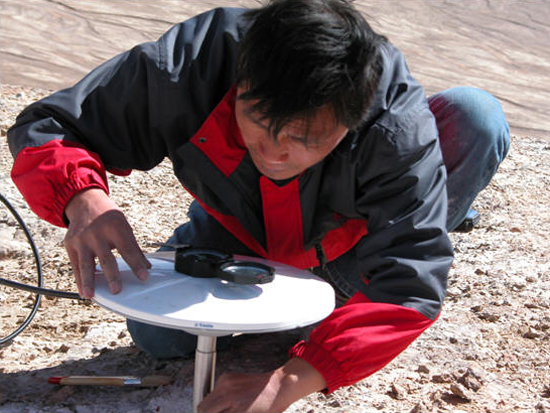
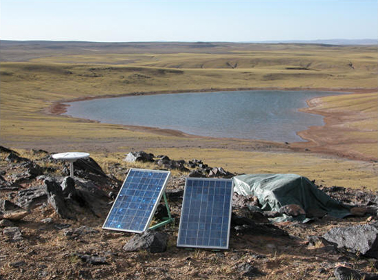
During July 20-August 30, 2009, Prof. Jiankun He of the ITP led an eight-crew expedition to Mt Arkin, west Tibetan Plateau for high-resolution GPS surveying of the Kekexili region. The scientific expedition included the measuring of 20 selected sites with sophisticated GPS equipment along the 450km south-north transect in Kekexili, and was jointly financed by National Natural Science Foundation of China, and National Scientific Research Center of France. Data acquired thereupon would be applied to assess geostructural activity in the region, and to study some basic behaviors of continental structural transformation and strain differentiation of large-scale slide faults, which would finally help in disaster reduction and prevention.
Prof. He revealed that this expedition, aiming at revealing modern mobility features of various structures in west and east parts of the Plateau and their differences, was the first one of the planned three expeditions in the project. Once all three expeditions have been completed, GPS surveying will be distributed southward to cover the entire western part of the Plateau.
|


