| News |
| Latest news | |
| Int’l Cooperation activities | |
| Events & Announcement | |
| Recent Activities |
| Location: Home>News>Recent Activities |
| Multi-spherical interactions of water-ice-air-biology to be subjected to comprehensive field monitoring over the Tibetan Plateau |
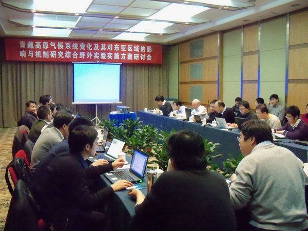
In the recently concluded preparatory meeting as a national effort to understand environment and climate changes on the Tibetan Plateau, it was decided that a comprehensive network will be set up throughout the Tibetan Plateau to monitor interactions between and among hydrosphere, cryosphere, atmosphere and biosphere. Discussions among meeting attendees agreed that snow accumulation area in Nyqingtanglha region should be subjected to sustained field monitoring, together with wetland area in Nagqu and lake area in Namco. Besides, water sampling will be extensively and intensively conducted along such river systems as the Nagqu river catchment, Namco catchment, Tuotuohe river catchment, and water head area of the three major rivers in China, to obtain data relating to local precipitation, runoff, groundwater, and water isotopes for further study. Monitoring of alpine ecology and land surface and vegetation was also planned to better understand ecological variation and its impacts on social and economic sustainability in Tibet. To facilitate those in situ monitoring and sampling, implementation approaches were proposed by responsible scientists and evaluated by relevant experts. In specific, field equipment for forestry study will be designed or purchased before distributing them in southeast Tibet. Besides, flight routes, design of plane-borne sensors and remote sensing data to acquire were also briefed, in addition to the introduction of transit time of various satellites as Landsat to allow the program to better utilize that opportunity. The meeting was called upon by Prof. MA Yaoming, PI of National 973 Research Project studying variations of climate systems on the Tibetan Plateau, their mechanisms and influences on East Asian region. Research staff from various institutions and/or universities in China participated in the meeting, including experts from the CAREERI, Institute of Atmospheric Physics, Institute of Geographical Sciences and Natural Resources, Chengdu Institute of Mountain Hazards and Environment, and Center for Earth Observation and Digital Earth.
|

